
Mapping Infrastructure.
The hardware behind the media.
Dim.0’s patent-pending civic projection systems and mapping infrastructure are designed for secure deployment, alignment, and long-term endurance.
Pilot Program >
How it works >
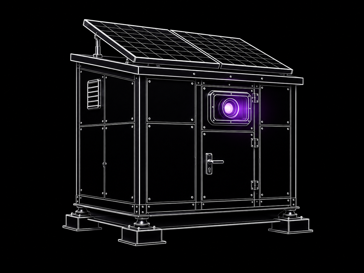
Mapping HVAP
Mapping Hardware for Visual Architectural Projection.
Portable rooftop projection encloures.
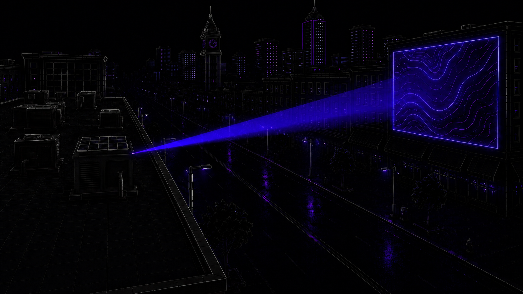
installed among standard rooftop HVAC equipment to maintain a low visual profile.
Pilot Program >
How it works >
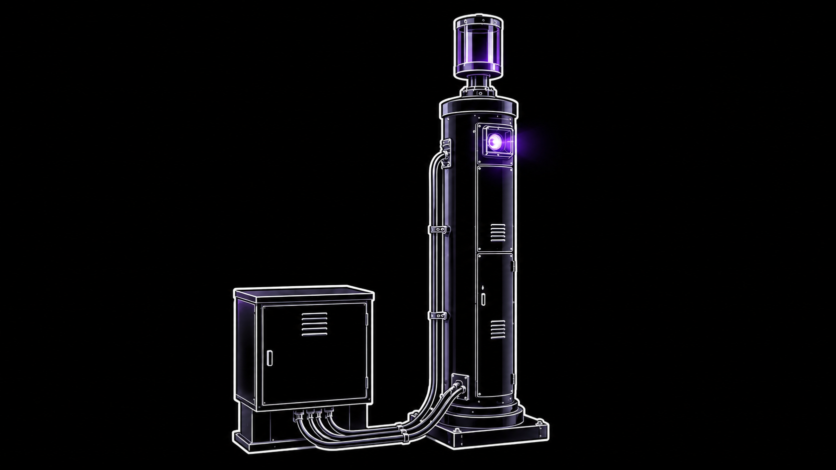
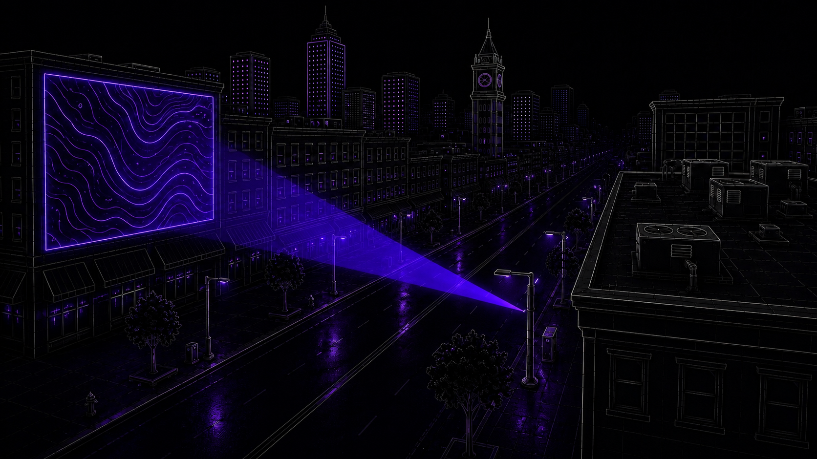
Mapping StreetLite
Mapping street lights.
Street level enclosures for across-the-street projection.
Pilot Program >
How it works >
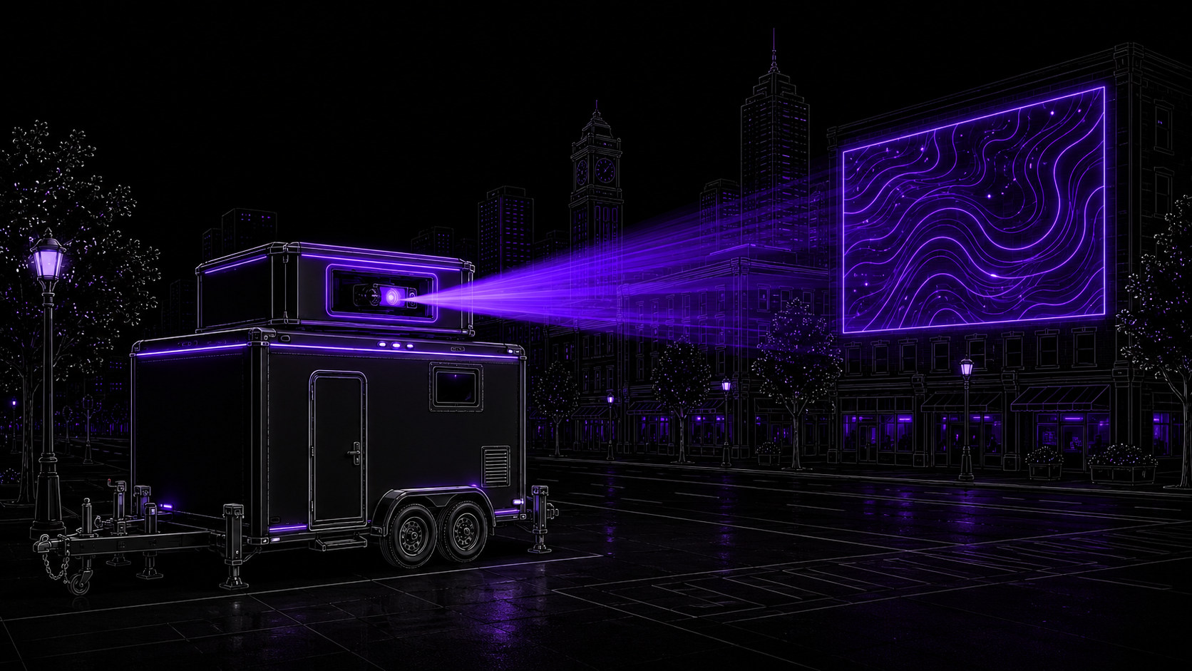
Mapping Haul
Mobile projection mapping enclosures.
Mobile street-level projection enclosures.

Pilot Program >
How it works >
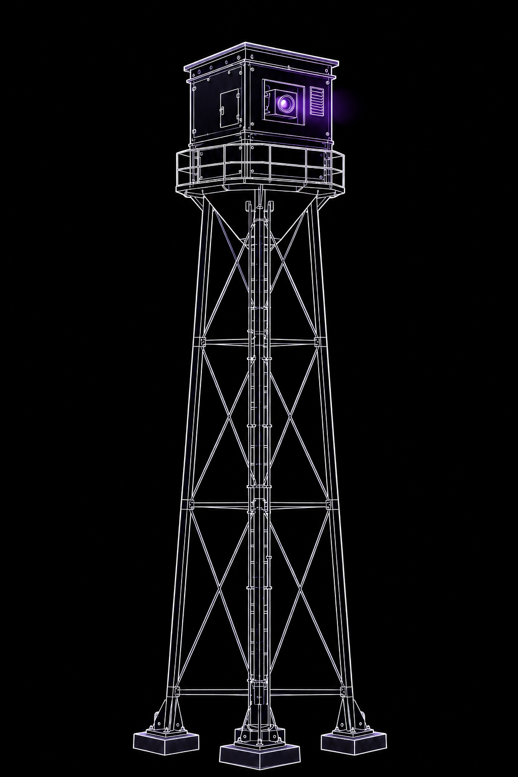
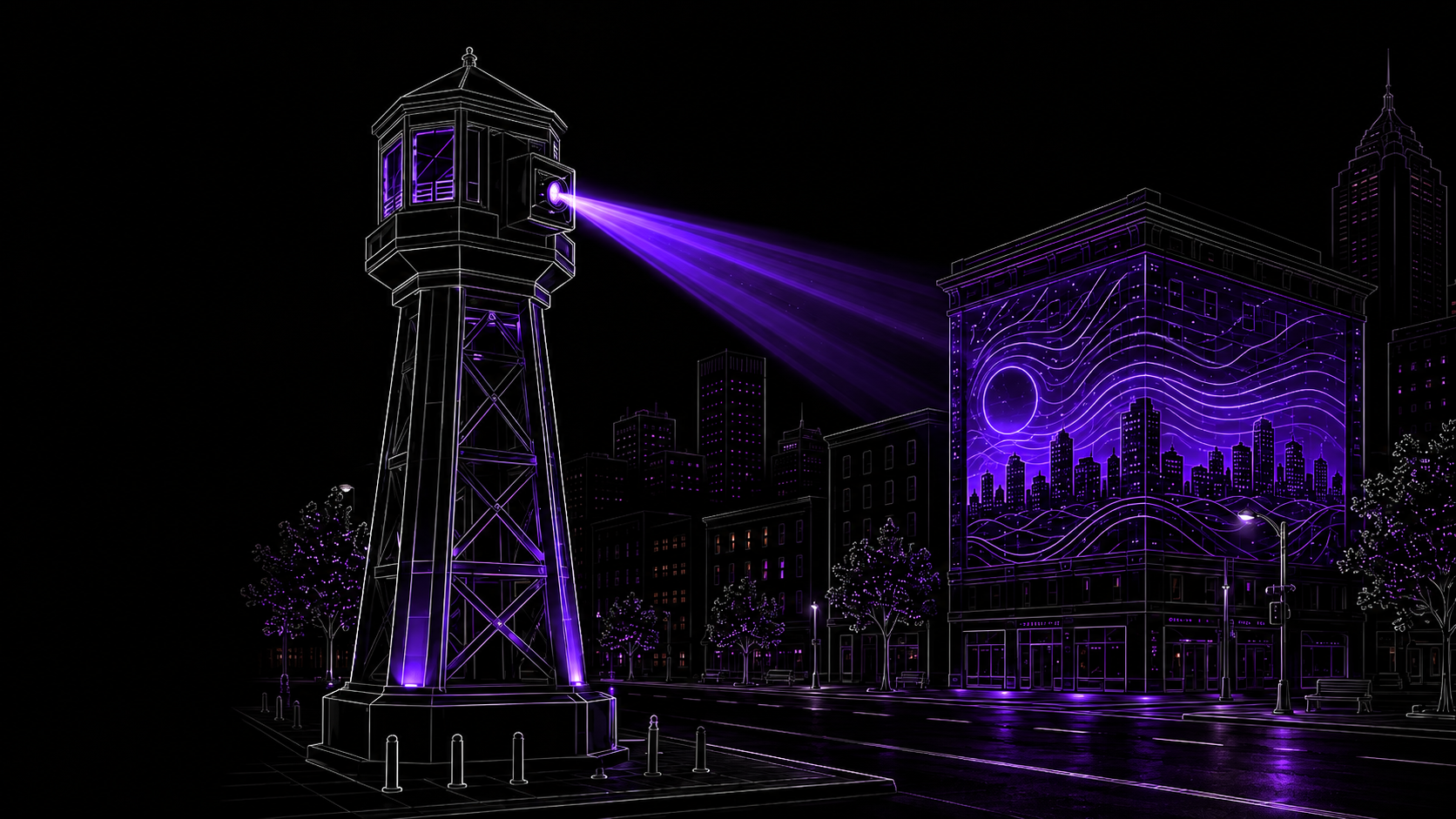
Mapping LiteHouse
Freestanding projection tower.
Street-level enclosures for high areas across-the-street projection.
Pilot Program >
How it works >
-
Hardware systems for architectural projection, venue mapping, and programmable nightfall environments.
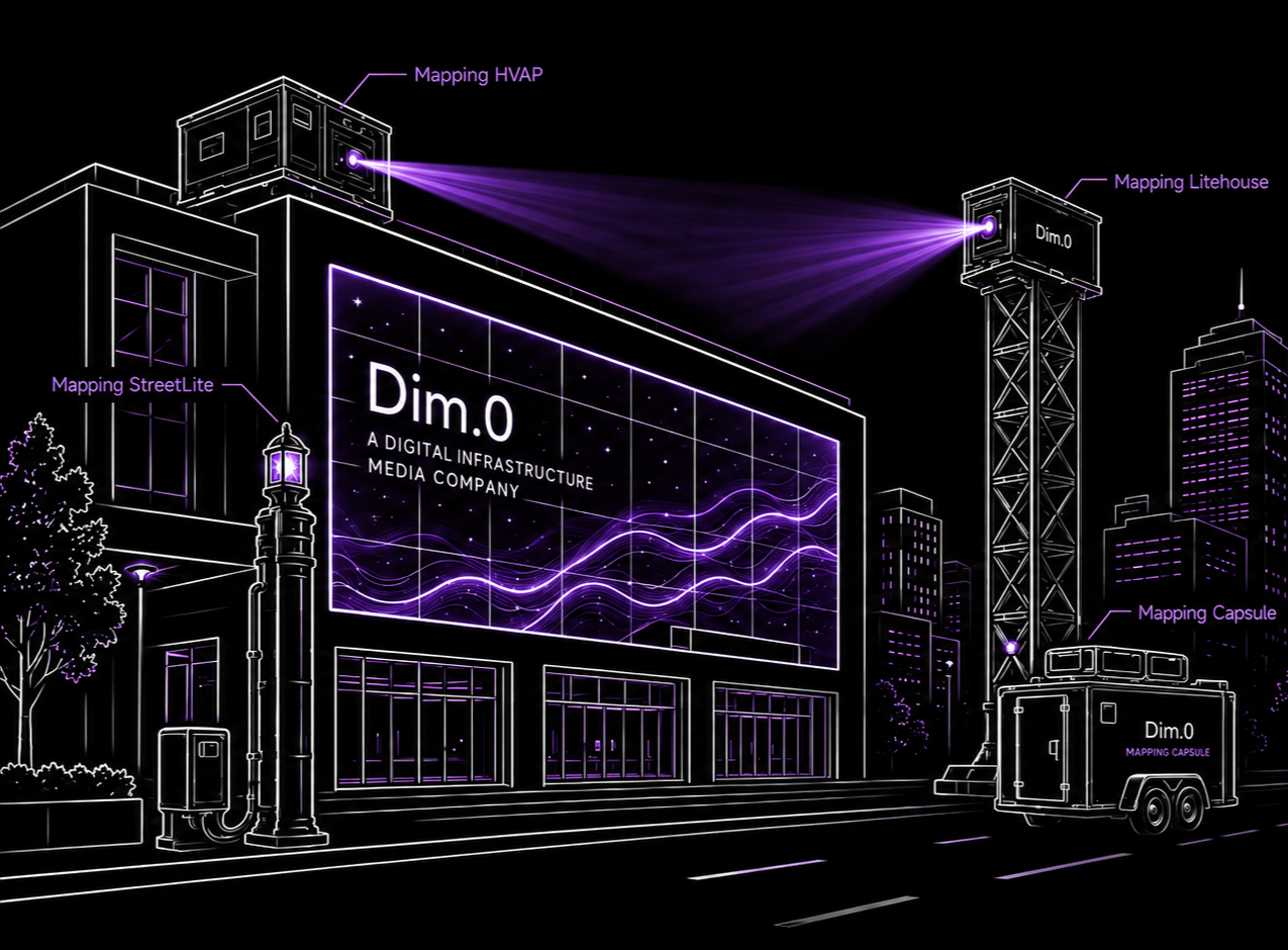
Dim.0 develops Mapping Infrastructure as the physical framework behind Digital Infrastructure Media — including rooftop systems, street-level systems, mobile capsules, and tower-based mapping hardware.
Mapping HVAP supports rooftop-based architectural projection.
Mapping StreetLite integrates projection hardware into street-level infrastructure.
Mapping Capsules provide mobile deployment through trailers, trucks, and lift systems.
Mapping Litehouse creates elevated projection positions for large-scale sites, venues, and public environments.Together, these systems allow buildings, façades, nets, venues, and public spaces to operate as programmable media environments after dark.
Depthspaces >
Pilot Program >
How it works >